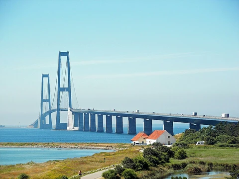
The Oresund Bridge
Combined road and rail link connecting Denmark and Sweden.

Ank Kumar · CC BY-SA 4.0
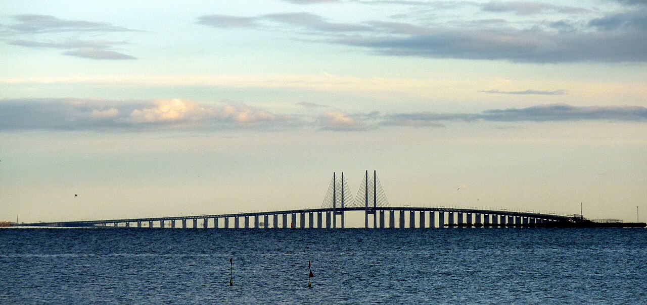
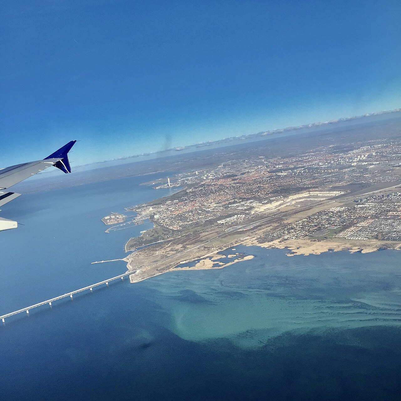
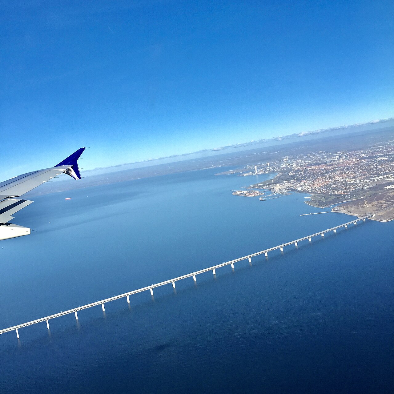
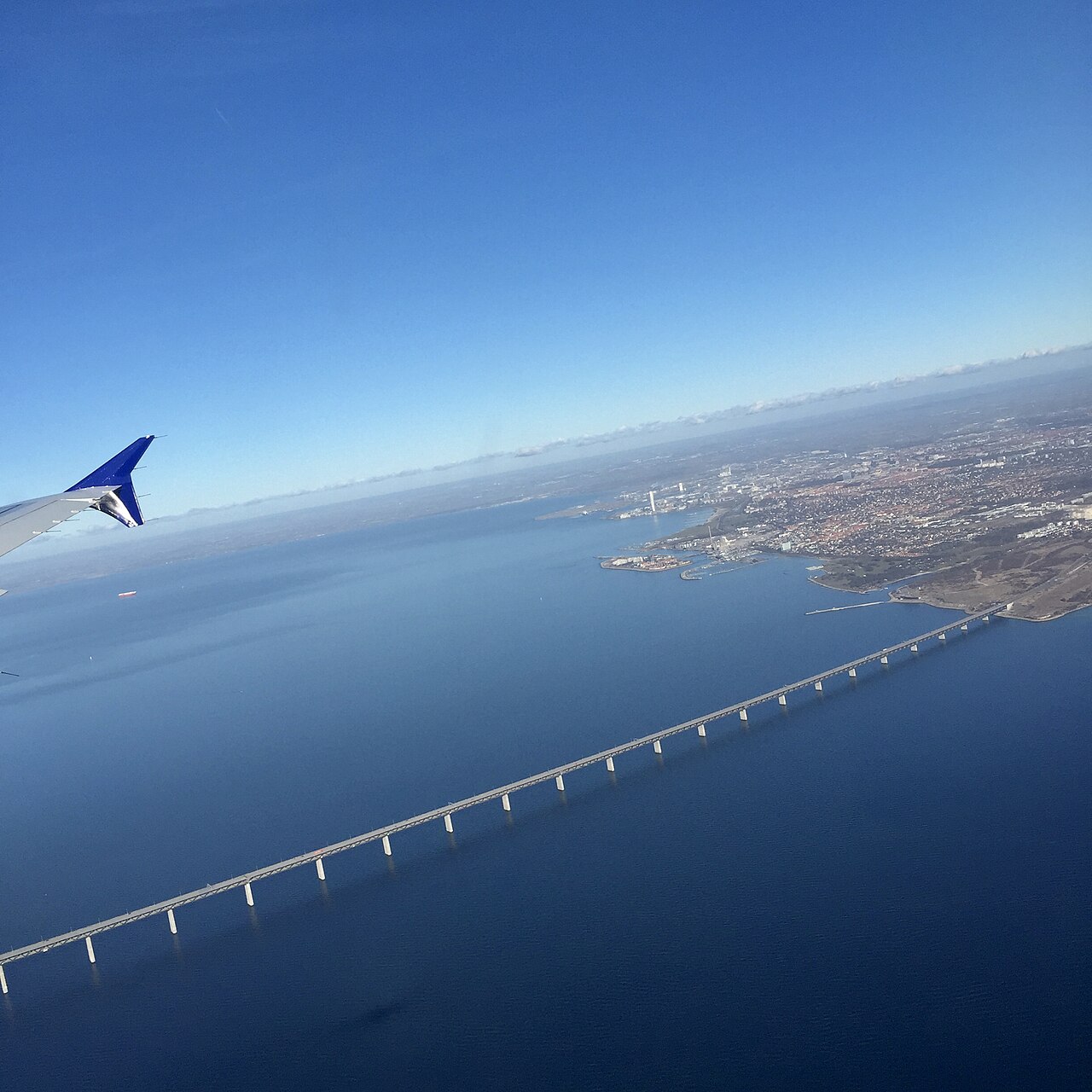
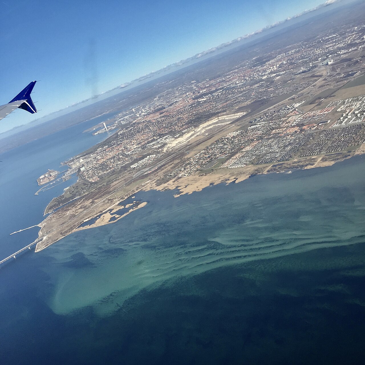
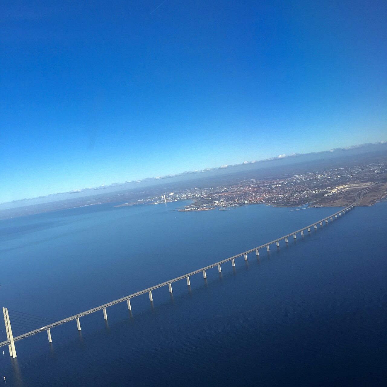
The Øresund Bridge (also spelled Öresund Bridge) is a combined railway and motorway cable-stayed bridge across the Øresund strait between Denmark and Sweden. It is the second longest bridge in Europe and combines both roadway and railway in a single structure, consisting of international European route E20 and the Øresund Line. It runs nearly 8 kilometres from the Swedish coast to the artificial island of Peberholm, and the Øresund Link is completed by the four-kilometre Øresund Tunnel from Peberholm to the Danish island of Amager.
- Type
- Combined railway and motorway cable-stayed bridge
- Total length
- Nearly 8 km (bridge) plus 4 km tunnel
- Location
- Between Denmark and Sweden across the Øresund strait
- Designed by
- Jørgen Nissen, Klaus Falbe Hansen, Niels Gimsing, Georg Rotne
Lore & Background
The concept of a bridge over the Øresund was first formally proposed in 1936 by a consortium of engineering firms who proposed a national motorway network for Denmark. The idea was dropped during World War II, but picked up again thereafter and studied in significant detail through the 1950s and 1960s. However, disagreement existed regarding placement, with some arguing for a link at the narrowest point at Helsingør–Helsingborg and others for a more direct link from Copenhagen to Malmö. The governments of Denmark and Sweden signed an agreement to build a fixed link in 1973, but that project was cancelled in 1978 due to the economic situation and growing environmental concerns. As the economic situation improved in the 1980s, interest resumed and the governments signed a new agreement in 1991.
Reader's Guide
The Øresund Bridge is significant as a major infrastructure project that directly connects the road and rail networks of the Scandinavian Peninsula with Mainland Europe, via the Great Belt Fixed Link. Both projects helped to lessen the isolation of Sweden and the rest of Scandinavia from the rest of the continent. The bridge also serves as the backbone of Internet data transmission between central Europe and Sweden via a data cable. The decision to include a tunnel rather than raising that section of the bridge was justified to avoid interfering with air traffic from nearby Copenhagen Airport, to provide a clear channel for ships, and to prevent ice floes from blocking the strait. Its construction was a recurring feature of Swedish political debate for decades, with many commentators opposing it on environmental grounds, but criticism has all but died down since the bridge was built.
Did You Know?
- The Øresund Bridge is the second longest bridge in Europe.
- A data cable in the Øresund Link makes it the backbone of Internet data transmission between central Europe and Sweden.
- The bridge was designed by Jørgen Nissen, Klaus Falbe Hansen, Niels Gimsing, and Georg Rotne.
- The tunnel section was chosen partly to avoid interfering with air traffic from Copenhagen Airport.
Engineering Design and the Tunnel Compromise
The Øresund Bridge is a cable-stayed structure that carries both a motorway (European route E20) and a railway line (the Øresund Line) within a single span, stretching nearly eight kilometres from the Swedish coast to the artificial island of Peberholm. The design team included Jørgen Nissen and Klaus Falbe Hansen of Ove Arup & Partners, alongside Niels Gimsing and Georg Rotne. A defining engineering choice was the decision to route part of the crossing as a four-kilometre immersed tunnel from Peberholm to the Danish island of Amager rather than raising the bridge high enough to clear everything. This compromise served three practical purposes: it kept the airspace above the strait unobstructed for traffic to and from Copenhagen Airport, it guaranteed a clear shipping channel regardless of weather conditions, and it prevented ice floes from accumulating and blocking the waterway. The result was a hybrid fixed link that balanced aviation, maritime, and overland transport needs simultaneously.
A Century of Political Negotiation
The idea of a permanent crossing over the Øresund strait has haunted Scandinavian politics for well over a hundred years. The first formal bridge proposal came in 1936 from a consortium of engineering firms advocating a Danish national motorway network. World War II shelved the matter, but post-war governments revived it through a series of Danish-Swedish commissions in the 1950s and 1960s. Yet persistent disputes over the optimal route—Helsingør–Helsingborg versus Copenhagen–Malmö—and competing infrastructure priorities stalled progress. A 1973 bilateral agreement was scrapped in 1978 amid economic strain and environmental objections. It was not until 1991, with improved economic conditions, that both governments signed a fresh commitment to build the combined road-and-rail link that would eventually become the Øresund Bridge.
Building the Link and the Consortium Model
The project was governed by a distinctive joint-venture arrangement: Denmark created A/S Øresundsforbindelsen and Sweden established Svensk-danska broförbindelsen AB (Svedab AB), and together they became half-owners of the Øresundsbro Konsortiet, the consortium entrusted with both construction and long-term operation of the entire link. The final design also evolved from the original 1991 blueprint: rather than two separate main spans over the Flintrännan and Trindelrännan fairways, engineers consolidated into a single larger main span over Flintrännan, shifted that shipping channel one kilometre eastward, and positioned Peberholm just south of Saltholm. The completed link also carries a data cable, making it a critical artery for internet traffic between central Europe and Sweden.
Connecting Scandinavia to the Continent
The Øresund Bridge ranks as the second-longest bridge in Europe and, more importantly, serves as the physical and symbolic bridge between the Scandinavian Peninsula and the rest of continental Europe. Together with the four-kilometre Øresund Tunnel to Amager, it forms the Øresund Link, which feeds directly into the Great Belt Fixed Link (built 1988–1998) connecting Zealand to Funen and onward to the Jutland Peninsula. This chain of crossings fundamentally reduced the geographic isolation that had long set Sweden and the wider Scandinavian region apart from the European road and rail networks. The link carries both the E20 motorway and the Øresund railway line, giving motorists and train passengers a seamless transnational route. Beyond physical transport, the infrastructure doubles as a digital corridor: a data cable running through the link underpins internet data transmission between central Europe and Sweden, making the structure a backbone of the region's telecommunications. In this way, the bridge's legacy extends well beyond steel and concrete into the everyday connectivity of an entire peninsula.
Common Misconceptions (Editorial)
Some people believe the Øresund Bridge is the longest bridge in Europe, but it is actually the second longest. Another common misconception is that the entire connection between Denmark and Sweden is a bridge; in fact, the link includes a four-kilometre tunnel from the artificial island of Peberholm to the Danish island of Amager.
Why It Matters (Editorial)
The Øresund Bridge is far more than a feat of engineering—it is a symbol of cross-border cooperation that overcame decades of political and economic hurdles. Its enduring significance lies in how it physically and digitally connects two nations, even serving as a backbone for internet data transmission between central Europe and Sweden, reminding us that infrastructure can shape both travel and technology.
Gallery
Frequently Asked Questions
What is the Øresund Bridge?
It is a combined cable-stayed bridge carrying both a motorway and a railway across the Øresund strait, stretching from the Swedish coast to the artificial island of Peberholm. Together with the four-kilometre tunnel linking Peberholm to Amager, it forms the full Øresund Link between Sweden and Denmark.
How long is the Øresund Bridge and what does it carry?
The bridge span itself measures nearly eight kilometres and houses both the E20 European motorway and the Øresund railway line within a single structure. Adding the four-kilometre tunnel to Amager brings the complete link to roughly twelve kilometres.
More in Great Bridges 1-22
Spotted an error? Know more?
This is a living reference — every entry is fact-audited, and reader corrections feed straight into our audit queue. Suggest an edit · See this site's audit record